Search This Blog

Showing posts with label Elbow River Pathway. Show all posts

Monday, August 5, 2013

Glenmore Biking Trip - 15Jun13

Our first true long distance trip together. This was a night trip. We must have begun from Downtown Calgary at about 8:45 PM. We took took the 8th St SW all the way up to 12 Ave SW and kept going East until 4th St SW. Then we headed South until we reached Elbow Drive. There it was West again all the way until the jungle where the trail to the reservoir begins.

The suspension bridge leads into the park - 10 PM. The Elbow River below
The trail leads in through a park, which has a cutoff time at 11 PM. So we had to get in and then back out of it by then. It was a little over 10 PM when we entered the park. So we had to make it quick. The entry into the park is through a suspension bridge. It is quite narrow so cyclists have to dismount while making use of it. The trail continues thereafter albeit with a huge steep ascent. 
The pathway leads into a steep ascent ahead of this
The trail and the bridge are almost at the level of the banks of the Elbow River. You would have gained an elevation of about 100 metres by the time you reached the top of the trail. This is sure a calorie burner and when you reach the top you can feel the air and blood surging through your lungs alike.

After gaining an ascent of approx 100m from the Elbow River
The beauty of this trail is that once you gain height, momentarily after that you start losing and then gaining again. By my standards I would definitely recommend new folks to have tried the Bow River Pathway at least a few times before attempting this in one go. 

On the North Eastern banks of Glenmore Reservoir - 10:30 PM
We did not attempt a full circle of the reservoir at night as we were constrained by time. We have left this for sometime in future. More posts on that when we do. The trail opens up to the view of the Rockies and the reservoir had we continued for another 5 kilometers on the trail. The trail always goes through Heritage Park. We decided to head back but just for fun sake spent some time on the North Eastern banks of the reservoir. 

Downtown Calgary - about 15 KM North of us
There was some confusion at night which way to head back as the trails split up at the North end though we had good lights on our bikes. Some time was spent in losing the way and getting back again on track. This is when we saw the Downtown from a distance at night. We have seen this kind of sight from various points in the landscape during our tours, but it always fascinates us. From our odometer I calculated this point would have been approx 15 KM South West of Calgary.

The moon from the jungle we were in - 10:54 PM
Unfortunately we lost one of our bikes' head lamp on the slope down due to an overhanging branch. That point on we slowed down full scale. The bike at the back was now dependent solely on the head lamps of the one in the front. But it was fun anyway. We managed to get out of the park just about the time at which it closes. It was then a long ride back to Downtown through Elbow Drive.

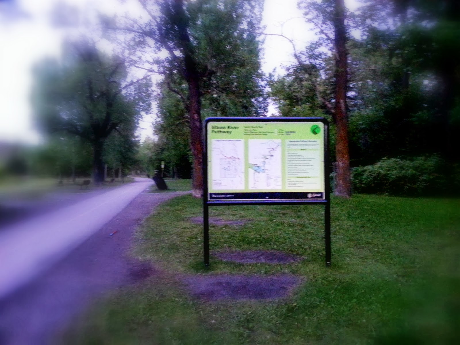
Elbow River Pathway - aside Elbow Drive - 11:15 PM


Sunday, August 4, 2013

Cycling In The Floods - 20Jun13

I had done about 1000 KM of cycling in 2010 from March to September alone. Cycling as an endevour and as a pastime had taken a back seat after 2011 owing to the higher frequency of out of town long distance trips. 2013 however, saw an increase in the fervour as I was joined by my wife. This day (the 20th of Jun) was special though: Calgary had been hit by floods, huge floods. We were not totally aware of the scale that this was going to be of though. In the afternoon one of my friends had messaged me that water levels had risen in the river system in Calgary - the Bow and Elbow rivers, and to keep an eye out on the trails.

Bow River Pathway - 2.5 KM West of Calgary at 9:40 PM
We had ventured out westward on the Bow river Pathway at 9:15 PM. We did notice that the river was much too voluminous and way too fast for its regular course. Nevertheless we maintained our journey. About 2.5 KM into the jaunt what did we see - the river had overrun the banks and had dangerously leapt into the pathway. About 150 metres of the pathway was deep in water to begin with.

Scouting the jungle - a detour, an escape from the flooded pathway
Navigating the thickets - the pathway still flooded

Finally saw the pathway empty - making a dash for it
It was too risky to continue ahead on the pathway so we trekked a bit up into the jungle to the left and once we had gained safe elevation continued through the jungle. The thick growth and the mosquitoes made it a little tough to cross the portion. As there was a lot of wet mud, we had to drag the bike in addition to riding it. We were constantly keeping an eye on the pathway below, as much as visibility in the jungle allowed to,  and came back on the pathway where it was safely above the river.

Downtown Calgary during the floods at 9:55 PM
Once on the pathway, we took the new path that goes up the hill instead of continuing straight into Edworthy Park. This trail gives a good view of Downtown Calgary. It was raining continuously and levels in the river rising. Many passersby advised not to use the trail to go to Downtown. Little did they know that we stayed in Downtown and had no choice but to go back to our apartment.

Water marker: a rise of 12 ft+ from normal below this bridge 
While coming down we took the bridge to cross to the other side. This bridge joins, like many others - the North bank of the river with the South Bank, and is below the ramp to the Crowchild Trail. We were startled to see the scene under the pathway bridge. The water had risen by 12 feet above the normal flowing mark. The flow and the roar of it was as though it would wash the bridge off. It was also getting harder to see on account of it raining profusely. 

Completely submerged pathway
Downtown Calgary from the Pathway at 10:20 PM
There were very few cyclists on the road at this time, but those that were, did not carry lights. This made it all the more difficult to ride. We saw quite a few more wonders that the river had done. Some of the pathways and links underneath had been completely submerged. Even the Soldiers' Memorial on Memorial Drive @ 9 St NW had been brought under the effect of the flood.

Water runs up Soldiers' Memorial 10:33 PM. More than 12 ft of water
Lighting on the Soldiers' Memorial
We met with friends while crossing the 9th St bridge. And to beat the cold we hunted for coffee, gathered at my apartment and chatted a few hours past midnight. The next day we heard of Downtown Core getting shut off. Many people were evacuated from their homes - 2 families that we knew were among them, who stayed with us for a week. It was a great experience serving and spending time with the folks at home.

Sunday, June 2, 2013

Braving The Weather Together - 02Jun2013

Jun the 2nd, 2013: I would call this the 22 KM jaunt. This distance, for enthusiasts and seasoned cyclists alike, would not score very high on their rating cards, but the fun part was in the heavy rain and temperature that endured during this short trip. Summers are here in this part of the world and the citizens of Calgary are ever eager to embrace it with open arms. But the summers here are interspersed with bouts of rain that bring along lower temperatures with them. The fact is not very bewildering that we had been very excited about this weekend but our feelings were somewhat dampened by the weather forecast. When we woke up this morning the feeling was amplified by actually seeing the weather out of our balcony. And this is when we decided that we had to go out. The statistics: 9 °C and loads of rain.

My favourite snap from this trip: Angel's Cafe, Edworthy Park
We warmed ourselves up with thick clothing and topped it up with windcheater jackets. The bikes were ushered out of the apartment at 10.30 AM sharp. We were met below by cold and rain. An 800 meter walk out of downtown, and we arrived at the Bow River Pathway, a cycle track that dwells aside the Bow River for most of the part. There was an event along the pathway. This included both jogging and walking. The track was full of people with umbrellas. This is Deepa's third jaunt with me and she is still picking up on the tricks of cycling and the event definitely seemed to thwart our attempts to beat the weather. We nevertheless decided to continue. The crowd would stay with us for about 3.5 KM from the start.

We threaded cautiously through the crowd until we reached the bridge. The crowd turned right here, making way for us, and we continued straight. The pathway was almost completely empty barring an occasional cyclist or a jogger on the run. The weather was harsh, thereby inducing an extra effort on the Triceps Surae (calf muscles) to crunch the kilometers. This was a blessing in disguise as I was able to demonstrate the usage of gears on the bike. Deepa was quick to pick up on the fundamentals and apply them on the job.

There is a forest patch that begins a little after this bridge and it had been doing the rounds in our daily chit chat before we made this trip. So Deepa was very thrilled to see it. The pathway becomes curvy and gets away from the river when in the jungle. And then at one bend it opens up just in front of the river. The levels in the river were seemingly voluminous and the current was stronger than what we had seen a few days ago. We kept riding until we had to cross the tracks of the Canadian Pacific Railways. There is a small ascent after this and you again ride alongside the river for a bit although the jungle keenly follows you for the most part, and at times completely swallows the track, thereby blocking any view of the river.

Edworthy: in the shade of  the coniferous woods
Squelching out the rain from our clothes
Misty environs
White blossoms
After a 7.5 KM stint we arrived at the Edworthy Park. Picnic areas were very sparsely populated on account of the rain and cold. We wandered around in the park, soaking in plenty, the greenery and the all-so-tantalising looks of the coniferous trees. We had been drenched by now. The jackets had prevented the rain from getting in but there was still a good amount of seepage. My hands felt stiff from the cold and it was tough to reach out for stuff that was inside my bag. But I did not want to lose the opportunity to take photographs of this serene environment.

Crossing the Bow River
My cellphone's camera was fogging up on account of moisture seeping into the bag, where I had safely tucked it away. Nonetheless I was not dissatisfied with the results that it produced. We walked around the park, strolling amid the woods that doted the landscape. Also noticeable was the faint aroma that comes when water leaches out the excipients of the birch trees. After spending some time in the park, we crossed over the Bow River to the northern shore of the river.

Cappuccino @ the Angel Cafe. Bow River outside
The bridge from the cafe
All warmed up for the trip ahead
There is a small ice cream and coffee shop on the other end of the bridge. I have always had wanted to visit this place and what would have been a better time. We lined up our bikes alongside the wooden railing at the entrance and I secured them with the number locking cable. Inside, there are two sit-outs, both covered. The first one is outside of the serving area and is larger. The second one is inside and has windows overlooking the river. This is where we chose to sit. We ordered two cappuccinos. I was quite happy with the way it tasted. We spent some good time inside, enjoying the coffee and our chit chat.

Coffee and chit chat over, we started again, further west, headed towards Shouldice Park. This is about 2 kilometers from the cafe. The rain kept pouring in, but the coffee had done its job well, both in providing  the much needed warmth and boosting up our morale. About a kilometer short of Shouldice, there are numerous playgrounds. Some of them are baseball grounds and the others for soccer. There was a game of soccer in progress while we passed by. Shouldice Park also has picnic spots, but it is not as big as Edworthy. 

End of the 1st leg of Bow River Pathway
John Hextall Bridge: Connecting Calgary to Bowness since 1911
The pathway curves around the river after the park ends and opens up after a climb into the John Hextall bridge. This bridge used to connect the Bowness Area to Calgary in the 1910s. It is now a wooden walkway. It's worth it, to spend time here, especially with the Bow River swelling below it. We crossed the bridge and went further into Bowness. We decided to turn back as our odometer had crossed the 11 KM mark. 

On our way back: Shouldice Park
Approaching Prince`s Island
The journey back was faster without stops. We did this in 3 hours, something that could be done in about an hour and a quarter, but the stops were worth.

It was definitely a great way of enjoying the weekend!!