I have been finally able to devote some time to my writeups, and my blog can now manage to catch pace with my travels. This post is based on the trip we made to Bassano Dam and Blackfoot Crossing, both in the province of Alberta. It was a one day trip which was made on the 4th of Jun, 2011. This time we had a new addition to our crew - Rahul. He had visited us for a short duration and it was good to have him on our tours. The reason this time, for renting a car was the same - weekend purchases to last for the week and also to take Rahul around for making purchases before he left. But as trend has it now, it is customary for us to take the car out on the next day of the rental.
 |
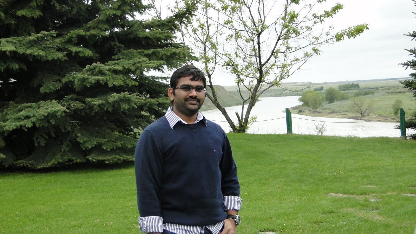
At An Indian Reserve, Some 40 Kilometres East Of Bassano Village
L-R: Rahul, Monojit, Me And Avneesh | | | |
I do not exactly recollect how we stumbled upon this place, but we did, and I am glad that we did. The rental car this time was a 2011 Chrysler 300C and it had been picked up on the 3rd, which is the previous day from our favourite renter - National. One thing which we did on the 3rd and which is conspicuously visible in the snaps is posing as brand ambassadors for a range of Tommy Hilfiger apparel. The snap just before the start of this paragraph is one which features all of us, even the photographer - Anand, is in a Tommy outfit. These purchases were made at the Crossiron Mills, which is located in Rocky View, about 30 kilometres North of Calgary on the Deerfoot Trail (Queen Elizabeth Highway). And just for the record, this was not the only trip to this place - we went there thrice after the initial visit and each time everyone bought loads of apparel.
 |
| The Tour Map - Calgary(A), Bassano(B) and Siksika(C) |
The best part of this trip was the weather and the landscape that complimented it. It was partly overcast, thereby lending that smooth relaxed tinge to the experience. The drive to Eastern Alberta, which is Prairie land, during this time of the year welcomed us with lush green fields and patches of yellow canola all along the way. Bassano is about 142 kilometres East of Calgary on the Trans Canada Highway- HWY1. It takes about two hours to get there. Some 46 kilometers west of Bassano, we took a turn on 842S and headed South towards Siksika. The area is an Indian Reserve and further ahead of the settlement the landscape was quite interesting. We drove for about 15-20 kilometres before we found an old wooden bridge. It was old and narrow, and allowed only one vehicle to pass through at any given time. The bridge was painted blue, which was quite contrasting to the environs around, but we were nevertheless amused to stop by.
 |
| The Detour We Took To Siksika |
We parked our car ahead of the bridge, on one side and spent an ample amount of time taking an ample amount of snaps.
 |
| The Old Bridge Near Siksika |
 |
| L-R: Monojit, Myself, Rahul, Avneesh |
 |
| Our Rented Chrysler 300C and My Tripod |
 |
| Taken In Sepia |
 |
| HWY 842 On The South Side of The Bridge |
One strange thing which happened to everyone while taking snaps on the bridge is that we noticed many vehicles with native Indians pass by us and the same vehicle came back yet again from the same side of the bridge, while to our best knowledge there is no road that would allow the vehicles to loop back to come back again from the same side. Spooky? Maybe. We went further South for a few more kilometres and then turned back North to head towards HWY-1. We had not realised that Blackfoot Crossing was just nearby when we first ventured down 842-S, otherwise we could have visited it first before heading to Bassano.
 |
| A Small Lake On The Way To Bassano |
 |
| The Restaurant In Bassano Where We Stopped For Coffee |
 |
| Sipping On Some Coffee At A Restaurant In Bassano |
 |
| Me And My Coffee |
The stop at Bassano was elaborate and we used it to fuel up and then have coffee.I was feeling a little sleepy and the coffee helped to freshen up a lot. There were also two tourist buses that had come here and plenty of people were in the cafe when we went in. We inquired about the local attractions with the hostess at the restaurant. She did not have much information, so she turned to the old couple who was sitting just behind us and they promptly gave us the information on how to reach Bassano Dam and Blackfoot Crossing to the minutest detail.
 |
| In Front Of The Restaurant, Before Leaving For Bassano Dam |
 |
| Location Of Bassano Dam On The Map |
The dam is about 8 kilometres south-west of Bassano and is connected by gravel road. The drive, though bumpy is doted with beautiful land. There are some very nice houses and barns on the way as well. We kept stopping enroute at various spots to take some memories back in our cameras.
 |
| The Village Of Bassano |
 |
| The Golf Course At Bassano |
 |
| Taken Enroute The Dam |
 |
| I Have A Liking For Such Small Structures |
 |
| These Large Tanks Probably Are Used To Store Canola Oil, Found All Over The Prairies |
 |
| Old Farm Equipment |
 |
| Contrasting Colors |
 |
| This Structure Caught Our Attention On The Way |
 |
| The Township Road To The Dam |
 |
| Some More Houses |
Just before you reach the dam, the road becomes too narrow and steep and then it takes a bend along the side of the precipice of the dam from where the water falls off. And when we had started to see this place, we saw a small farm type of enclosure where there were many horses.
 |
The Parking Lot Can Be Seen From Here
Not Sure Why They Paint Everything Blue In This Part Of The Country |
|
 |
| Lovely, Ain't It |
 |
| And One More |
After shooting the horses with our cameras we went down the road and parked the car. Then we wandered into the grass that covered the hill, so green and we could hear the water from the dam roaring from a distance. It felt nice being there. Slowly we walked towards the edge of the hill and could see the dam from there.
 |
| Some Writeup On The Dam On That Board |
 |
| Avneesh |
 |
| Anand Sastry. The River Can Be Seen In The Distance |
|
 |
| Took This Snap Of Rahul With The Dam |
 |
| Foundation |
 |
| Me |
We walked down the hill to the base of the dam where the water regained its course after falling from a short height. We spent a considerable amount of time below the hill.
 |
| Walking Down The Hill |
 |
| On The River Bank |
 |
| From Near The Dam |
 |
| Photo of Rahul Taken By Rahul |
 |
| Photo of The Other Rahul Taken By Rahul |
 |
| The Gang |
 |
| Both Rahuls Together |
 |
| L-R: Rahul, Anand And Me |
 |
| Relaxing? |
 |
| Before Leaving Bassano |
 |
| Ramshackle |
 |
| Town Of Bassano |
 |
| Took Many Such Snaps On The Way |
 |
| Someone Caught This On The Camera |
 |
| This Is Before Reaching Siksika |
We headed to Blackfoot after having toured the dam site. The weather had started to open up by then. It was bright and sunny by the time we reached Blackfoot. Blackfoot Crossing Historical Park is built on an Indian Reserve in the community of Siksika. Siksika is actually the name of an Indian tribe. There is a historic museum at this place. Though our intention was to visit the museum, and we did go inside it, but we did actually pay money to see what was in. We just had lunch and came out. One thing to mention here, is the sizeable population of gophers. Two or three of them came up to us and were literally begging us for food. I was not aware of this species, and mistook them to be squirrels in the beginning. But they were too scary and aroused my suspicion when Rahul told me about these creatures. Even when we came inside from the lookout, the gophers were trying to get into the door.
 |
| Siksika Nation, The Place Where The Museum is Located |
 |
| The Historical Park |
 |
| Blackfoot Crossing Museum |
 |
| Museum Entrance |
 |
| Behind The Museum, From The Sitout |
 |
| Waiting For our Lunch |
 |
| These Gophers Troubled Us A Lot |
 |
| Lunch For The Day |


Hey Meraah Hindustaanka Dhost,
ReplyDeleteBohuth achcha blog banaakki rekhahai aapney yahaa.
Definitely will help others out to make their trip soooo easy...
Thanks Vara.
Delete